Get as close as possible to standing on the surface of the moon without leaving the planet, when you visit Sunset Crater Volcano National Monument.
Before humans could walk on the moon, astronauts had to prepare for what might happen after those first steps—namely, the exploration of its surface. With its loose cinders and hardened lava flows, Sunset Crater Volcano National Monument and the adjoining forest just northeast of Flagstaff, Arizona, proved to be the ideal training grounds for space exploration. Today, you can hike through this other-worldly landscape and even stand in what remains of simulated moon craters.
WHY SUNSET CRATER
When Sunset Crater erupted in 1085 A.D., it shot lava 850 feet into the air. As the lava fell back to Earth, it cooled, forming tiny rocks called cinders. These cinders became a cone around the volcano’s vent and covered the entire area. Initially, the land was so devastated plants couldn’t grow in the affected area for roughly 500 years.
Even though there is some vegetation today, this Southwest landscape remains eerily stark and reminiscent of the moon. But, that’s only part of the reason scientists chose Sunset Crater as the primary location for testing lunar rover prototypes and equipment. Looking through telescopes at nearby Lowell Observatory, artists were able to complete detailed maps of the actual moon’s surface to help with training.
TRAINING FOR THE LUNAR LANDING
The U.S. Geological Survey Branch of Astrogeology then used those maps to convert the area into a simulated lunar field, complete with replicas of actual lunar craters. From 1963 through 1972, every astronaut who walked on the moon, including Neil Armstrong, Alan Shepard, and Buzz Aldrin, trained in the area.
During their training at Sunset Crater, astronauts learned how to identify topographical features, conduct the tests they’d be asked to perform on the lunar surface, and navigate Grover the Geologic Rover, a copy of the LRV (lunar roving vehicle) they would use on the moon.
VISITING TODAY
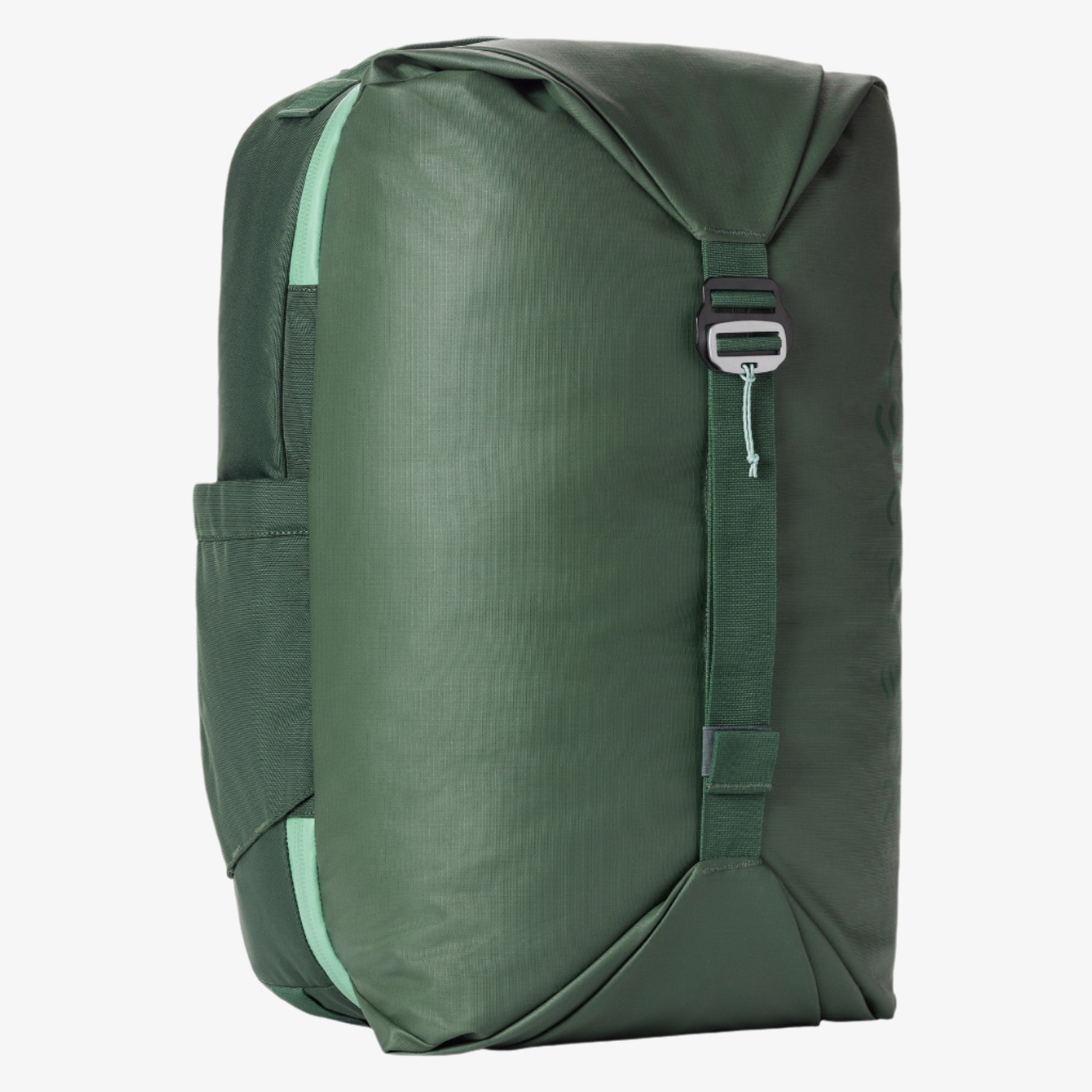
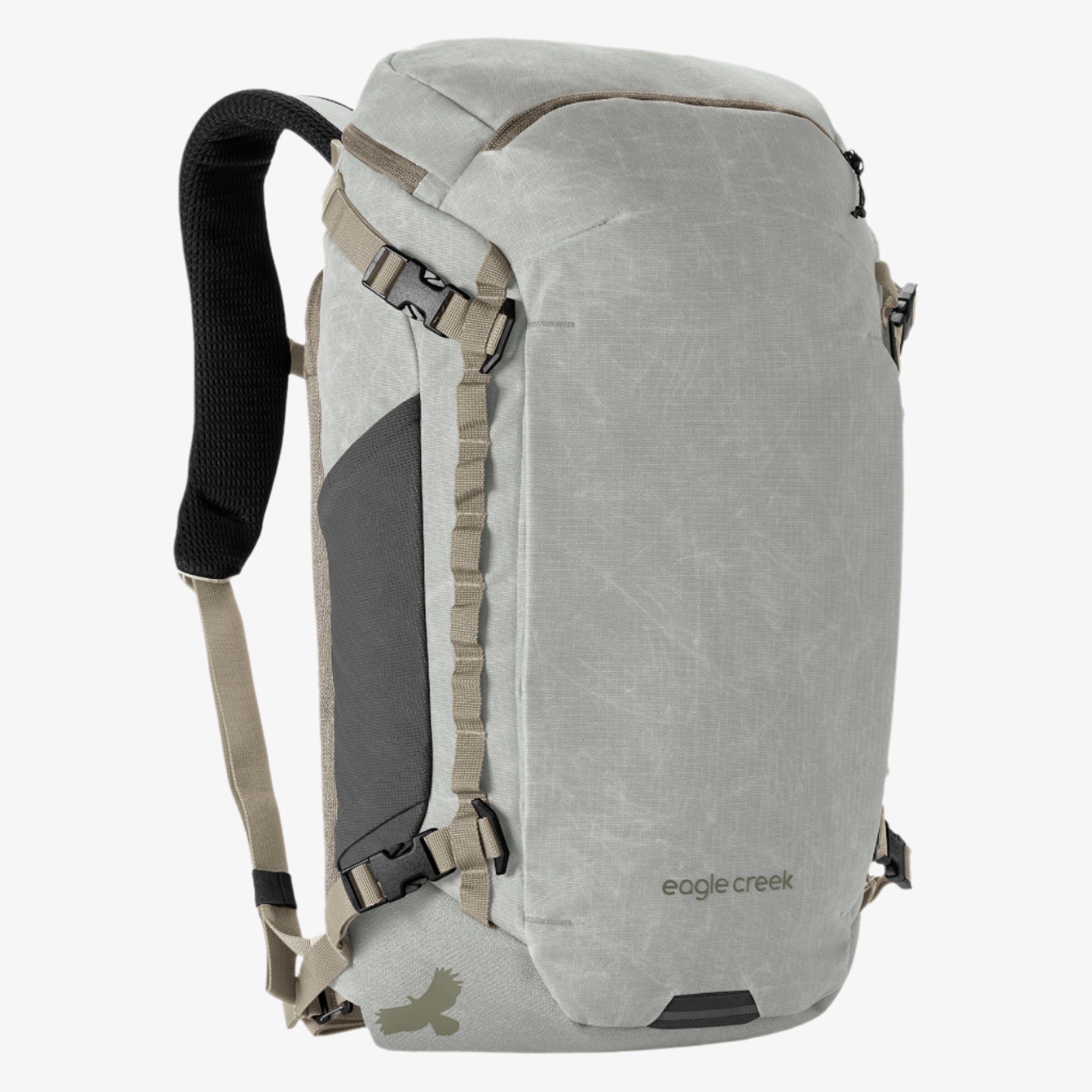
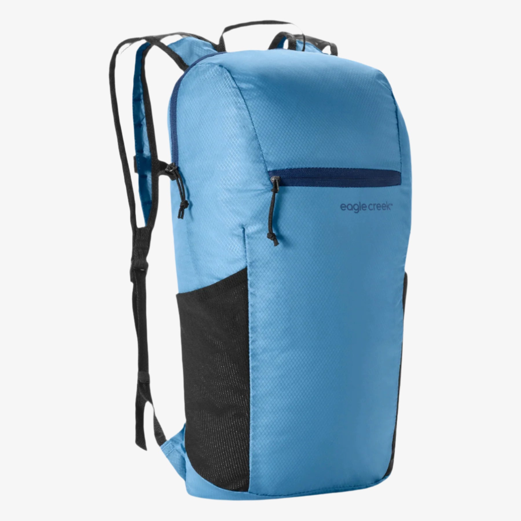
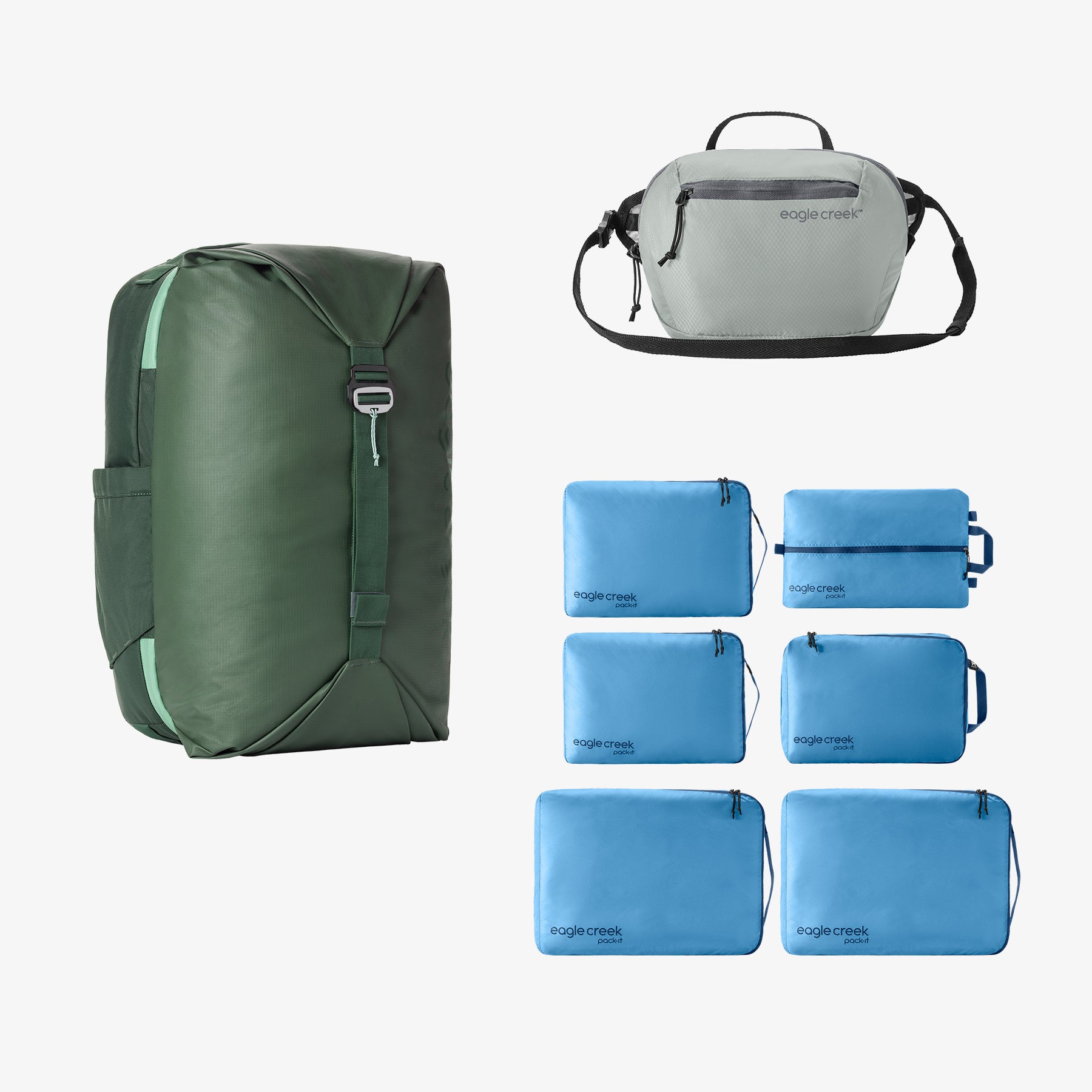
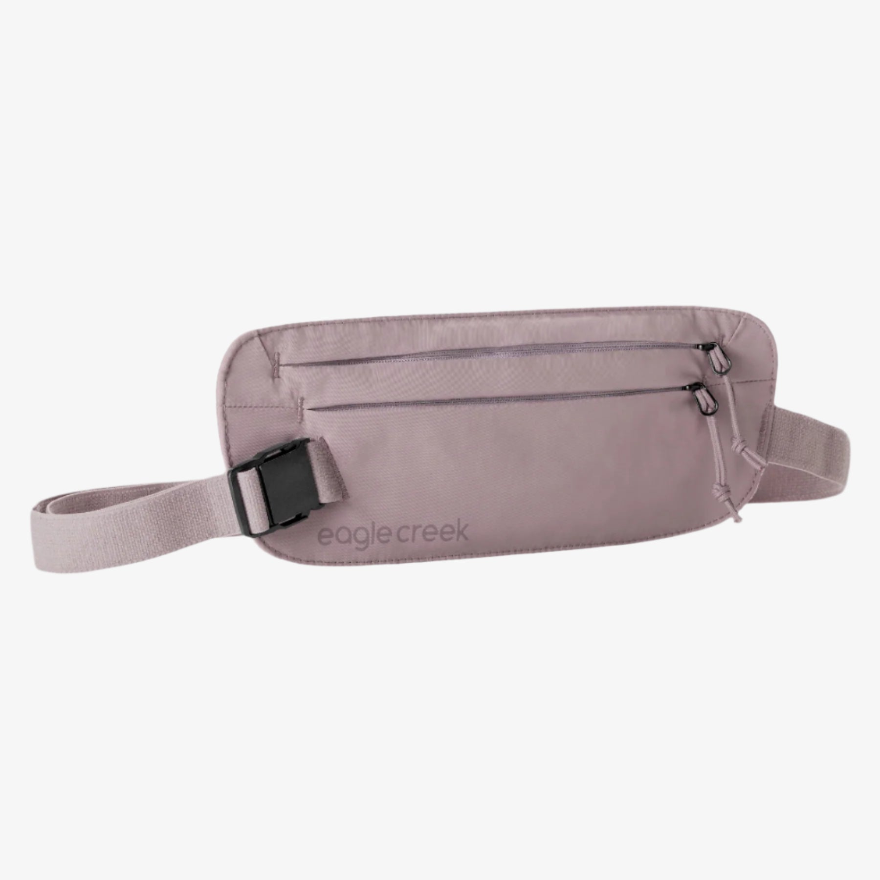
Sunset Crater Volcano National Monument is connected to Wupatki National Monument, a collection of Sinagua ruins that includes a 104-room pueblo, by a 34-mile loop off U.S. Highway 89. Before heading out to explore either (or both), fill a backpack with hiking necessities such as sunscreen, water, and snacks. Or, bring a waist pack stuffed with the essentials for a lighter load.
Begin your day at Sunset Crater. Although you won’t see the replica lunar crater field at the national monument, you can still experience its unique landscape—the same landscape where the astronauts would have come to learn about geology, and enjoy a hike. Try the 3.4-mile Lava’s Edge Trail, which takes you over loose cinders and rough basalt at the edge of the Bonito Lava Flow, or the 1-mile Lava Flow around the base of Sunset Crater.
AT THE CRATER FIELDS
Technically, the two crater fields created to prepare astronauts for their mission are not part of Sunset Crater; they are part of the adjoining Coconino National Forest. Known today as the Cinder Hills OHV Area, they can be accessed about 1.5 miles off U.S. Highway 89 on Forest Service Road 776 before you reach the Sunset Crater turnoff.
Natural erosion and weathering (not to mention use by off-highway vehicles) has damaged and softened the craters, making them hard to spot. But you can still see divots in the surface and imagine the astronauts in their training rover there. If you do off-road through the area, pack some basic tools, first aid kit, and plenty of water since the terrain is harsh.
Want to keep exploring? Continue your visit at Wupataki National Monument or drive to Meteor Crater, the site of an actual meteor impact east of Flagstaff, another spot where the astronauts trained. These educational trips are sure to please the whole family and be an unforgettable glimpse of another world experience.

